
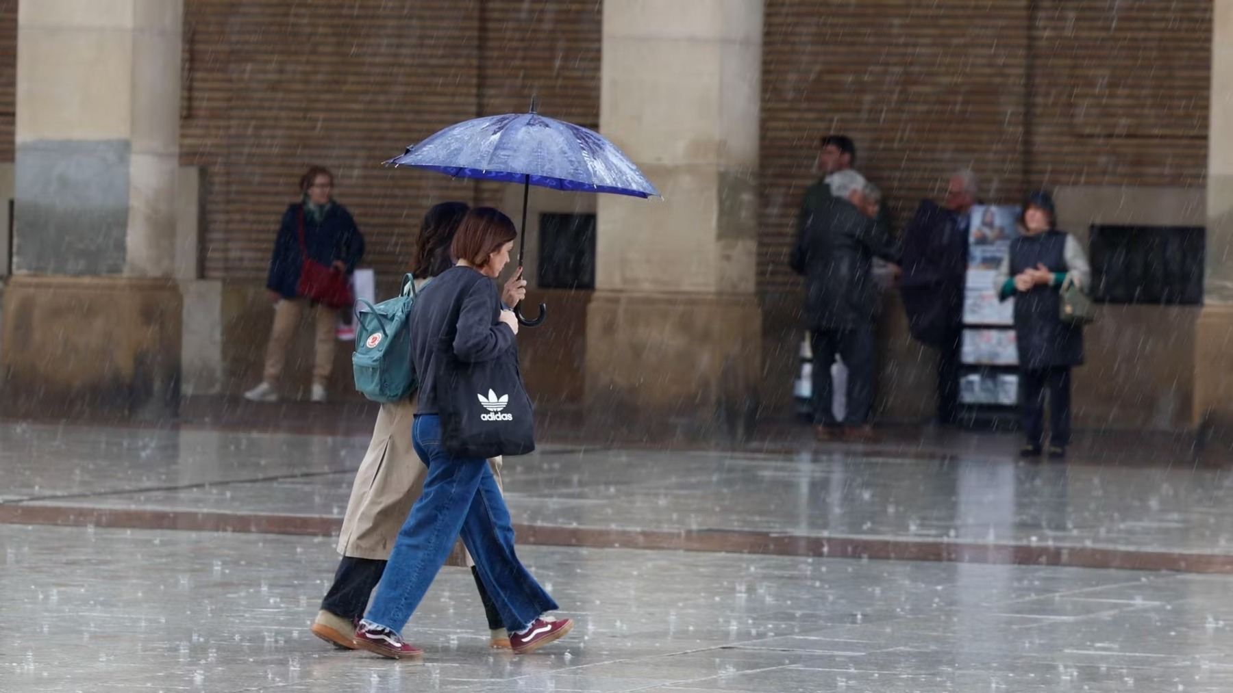
An alert remains active in the eastern zone of the Iberian Peninsula for torrential rain and storms, as the rest of the country fills with unstable skies.
Spain faces this Friday, October 2, with a weather forecast that centers on instability and heavy rainfall. The most adverse episode concentrates on the Mediterranean coast, particularly the Valencian Community and Tarragona, where red alerts remain in place for torrential precipitation.
Strong storms are also anticipated, some with hail, across the two plateaus, Aragón and the Iberian System, along with very intense rainfall in the southeast and the Balearic Islands. Temperatures will drop across the Mediterranean area, while rising in much of the rest of the country. In the Canary Islands, conditions will be more stable, though a persistent calima will remain.
The weather for Friday, October 2
The eastern part of the Peninsula begins the weekend on alert for extreme rain and storms. On Friday, Tarragona and Castellón will be under red alert for extraordinary danger until noon, according to the State Meteorological Agency (Aemet).
During the early part of the day, showers and torrential storms will produce very high accumulations in the Valencian Community and Tarragona. Showers and strong storms with hail will occur across the two plateaus, Aragón and the Iberian System, and be very strong in the southeast and the Balearic Islands. In the Canary Islands, persistent rain is expected on La Palma.
Friday is expected to be an unstable day due to cooler air aloft and moisture from the Mediterranean. In the early hours, showers and storms from the previous day will continue in the Valencian Community and Tarragona; they will be torrential in intensity and leave very high accumulations, especially in Castellón and Tarragona. By midday, the intensity will begin to ease and the storms will move toward the coast, where a few strong showers could occur in the afternoon.
Also in the early hours, locally strong showers are forecast in Madrid and other parts of the eastern third; during the afternoon, showers with thunderstorms and hail are likely, strong across the two plateaus, Aragón and the Iberian System and very strong in the southeast and the Balearics. In the Cantabrian region and the eastern third, skies are expected to be mostly clear, and in the Canary Islands, cloudy skies on the northern slopes of the islands with persistent rain on La Palma.
Morning fog and fog banks are likely in the southeast and in the high-altitude areas of the far north. In the Canary Islands, there will be a light intrusion of calima from the east.
Maximum temperatures will fall across the Mediterranean arc and the Balearic Islands and rise in the rest of the country, with notable increases in the upper Ebro region. Minimum temperatures will rise in the west and fall in the east and the Balearics. In the Canary Islands, temperatures will barely change.
Wind will be moderate along the coasts, northeasterly along the Galician shores (where it may reach strong gusts at times), and easterly on the Balearics and on the Cantabrian, Mediterranean, and Alborán coasts. Inland, wind will be light and variable, with a predominance of the east component. In the Canary Islands, the trade winds will blow moderately.
The weather on Saturday, October 3
Maximum temperatures will fall across the Mediterranean arc and the Balearic Islands, and rise in the rest of the country, with notable increases in the upper Ebro region. Minimum temperatures will rise in the west and fall in the east and the Balearics. In the Canary Islands, temperatures will hardly change.
Saturday will continue to show instability across the Peninsula and the Balearics, although rainfall is not expected to be as intense or persistent as in the previous days. Expect a day with abundant mid-level cloudiness inland, low clouds along the Mediterranean and Cantabrian coasts, and high clouds elsewhere. In the early hours, the strong showers from the previous day will continue along the Tarragona coastline and in other parts of the southern plateau, Extremadura, and Aragon.
In the afternoon, locally strong showers are expected in the rest of the Catalan coast, the Iberian System, the southeastern mountain ranges, the Pyrenees, and the northwest quadrant, or even very strong in the Balearics, under an orange alert. In the Canary Islands, skies will be cloudy on the northern side and clear in the south.
Morning fog and fog banks are likely in parts of the eastern third and the high inland and northern areas. Calima will persist in the Canary Islands.
Maximum temperatures will rise in Galicia, Aragon, Navarra and the Canary Islands, and fall in Catalonia, the Balearics and the interior of the peninsula, remaining unchanged in the rest. Minimum temperatures will rise in the northern third and the western part of Andalusia and fall elsewhere and in the archipelagos.
An easterly wind will predominate across the Peninsula and Balearics, light inland, moderate along the coasts, with intervals of strong winds in the Strait and the Galician coast. In the Canary Islands, the trade winds will blow moderately.
The weather on Sunday, October 4
On Sunday, instability persists due to the presence of cold air aloft and the formation of a DANA to the west of the Peninsula. Cloudy or very cloudy skies will dominate the Peninsula and the Balearics. Only along the Galician coast are skies expected to be partly cloudy or clear.
In the early hours, showers and strong thunderstorms are forecast in the interior and even very strong and persistent in Catalonia and the Balearics. During the rest of the day, heavy showers are expected to become widespread across much of the northern half of the peninsula, and they will be less frequent and less probable in the south. In the Canary Islands, expect intervals of clouds on the northern slopes of the islands and clear skies in the south and on the eastern islands.
Morning fog and fog banks are likely in parts of the eastern third and the high inland and northern areas. Calima continues in the Canary Islands.
Maximum temperatures will fall in the northern third and the Balearics and rise in the southeast. Minimum temperatures will rise in the Cantabrian region and remain unchanged elsewhere. In the Canary Islands, temperatures will rise slightly.
An easterly wind will predominate across the Peninsula and Balearics, light inland, moderate along the coasts, with intervals of strong winds in the Strait and the Galician coast. In the Canary Islands, the trade winds will blow moderately.