
Climate has altered 77% of Europe’s river network between 1951 and 2020. That is the finding of a study by the European Commission’s Joint Research Centre (JRC), presented on October 26. And the result does not point in a single direction.
In the Mediterranean, river droughts are harsher and longer, and in the Alps floods and low-water periods worsen at the same time. And humans? Cities, reservoirs and water use have altered about 35% of that network on their own.
Five Paths for Europe’s Rivers
Together with the JRC, the Potsdam Institute for Climate Impact Research (PIK) and the universities of Szczecin and Bologna co-authored the work. It has been published in the journal Earth’s Future. Its authors used the LISFLOOD hydrological model to separate the effect of climate from land use, reservoirs and water withdrawals.
With that tool, the team distinguishes zones that “wet up,” with stronger floods and milder droughts, and others that “dry out,” just the opposite. Some zones “speed up,” with both ends rising, and others “slow down.” The fifth category, stability, is almost negligible, because the JRC map places it only in the French Cévennes.
The Mediterranean Is Drying Out
In the Mediterranean region, 28% of the river network tends to dry up, with droughts that are more intense and prolonged. The Iberian Peninsula appears in that group. Anyone who has seen a half-full reservoir in August will understand it without the need for maps.
At a European scale, the balance is not even either. According to the JRC, the regions where river drought has significantly worsened outnumber those where it has improved by three to one.
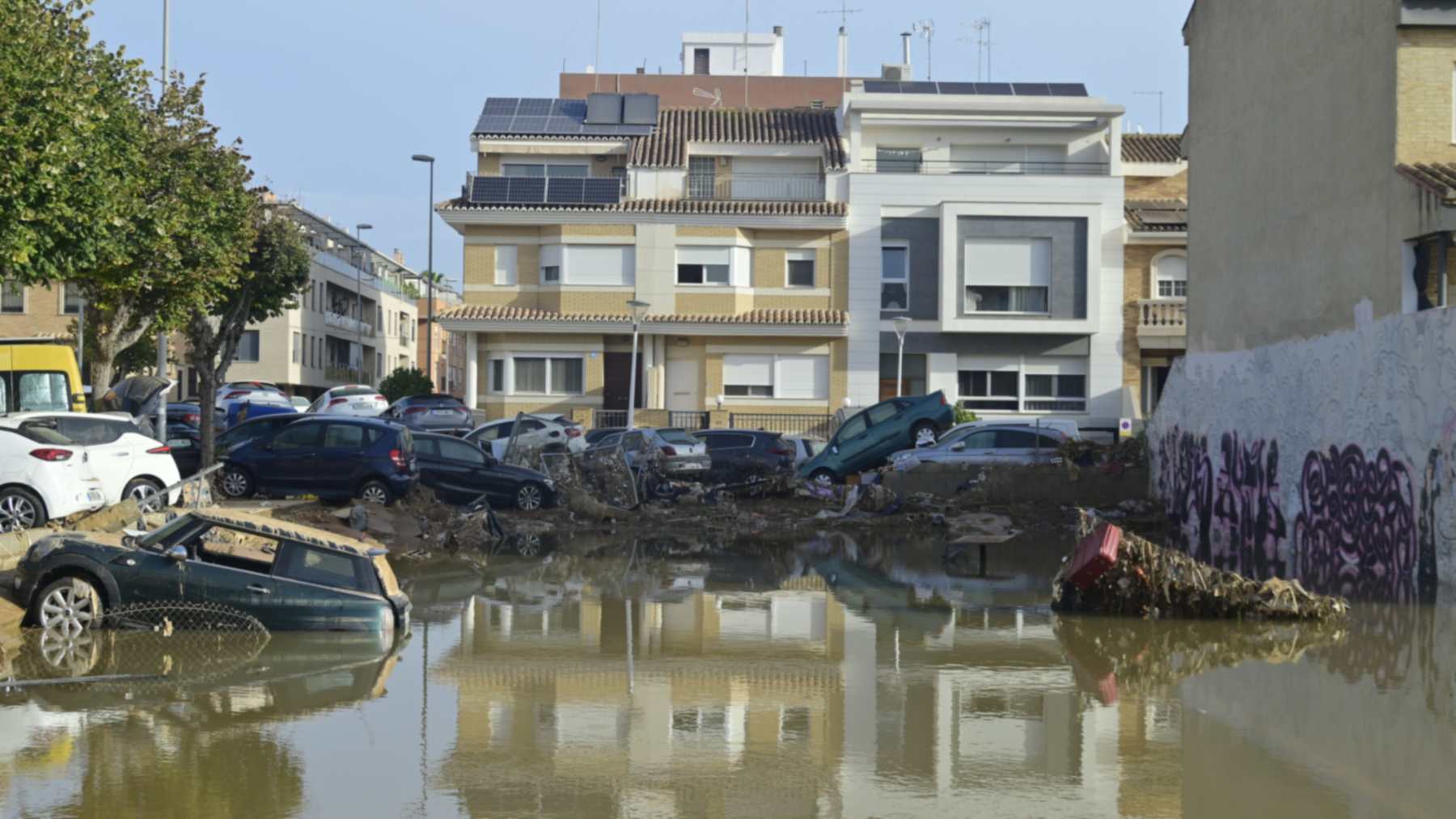
That notwithstanding, the south experiences episodes of extreme rainfall, such as the DANA that swept Valencia in 2024. But the study measures seven-decade trends, not a single storm.
The Alps with Floods and Droughts
Up in the mountains, the problem takes a different form. 36% of the Alpine river network experiences a hydrological “acceleration.” Changes in snow and in the distribution of rainfall simultaneously intensify both floods and droughts.
According to the JRC map, Norway, Italy and Scotland are on that same path. Sweden, Poland and Romania lie on the opposite side, with extremes that ease off. And the Atlantic and Continental regions are moving toward moister conditions, with floods that carry more weight and droughts that lose strength, on average.
Pavement, Forests and Taps
Climate remains the dominant factor, but changes in land use already affect 27% of the network. On average, they have worsened river droughts by 5.2%. Moreover, cities and sealed surfaces prevent water from infiltrating, so runoff occurs faster and boosts local flood peaks.
With trees there is a curious nuance, according to the JRC. Reforestation increases the amount of water the forests consume and can reduce river discharge in dry periods. This has already been observed in Spanish forests and their growing thirst.
And then there is the home faucet. Growing consumption has worsened droughts in 10% of the network, 3.6% on average. Domestic use has continued to grow and by 2020 it was the sector that spent the most water.
Dams That Slow Floods and Evaporate
With reservoirs the story is different, since hundreds of dams have affected 13% of the European river network. They act as a buffer that reduces both floods and droughts.
According to the JRC’s press release, that relief comes at a price, because evaporation from the large reservoirs reduces the total volume of rivers. What is gained in stability is partly lost to the air.
That is why the Commission links these data to the European Water Resilience Strategy. Separating climate from local pressures helps to know where to act first. Here we review what that strategy proposes to curb leaks and waste.
Soil Drought Left Out
It is worth reading the study with its limits in mind. It only analyzes drought in river discharge (the so-called hydrological drought), not soil moisture shortage. It also does not cover what happened after 2020, when extreme drought again put Europe to the test.
Moreover, the trends are averages over large regions, and from one valley to another the situation can change a lot. The JRC continues to study these risks in its PESETA program, in operation since 2006.
The official statement has been published on the website of the European Commission’s Joint Research Centre.
Photo: © European Union, 2024