
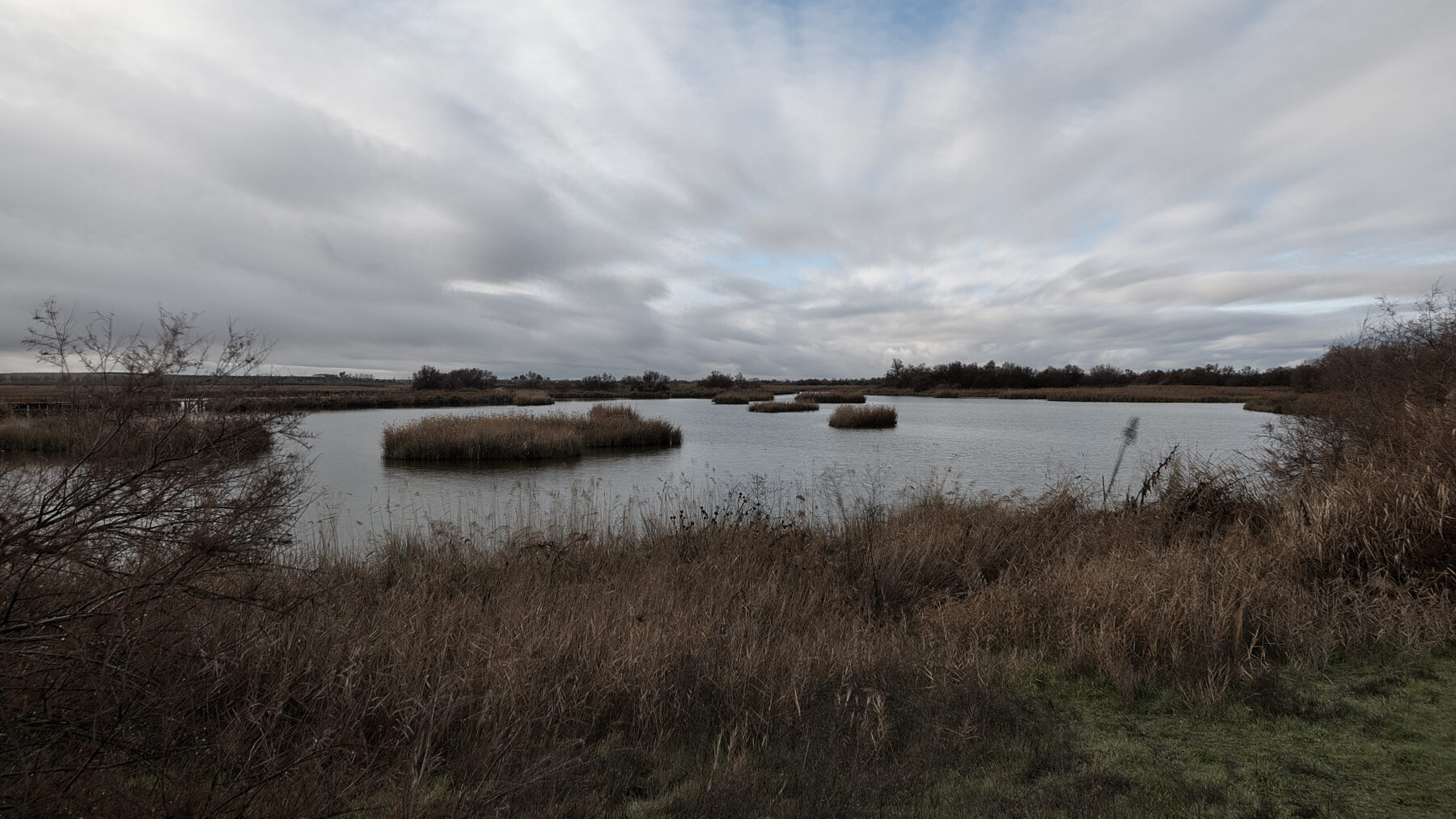
An aquifer is one or more underground layers of rock or other geological materials with pores and permeability sufficient for water to move through them or be extracted in significant quantities, according to Article 40 bis of the Consolidated Text of the Water Law. Put more plainly, it is subsurface sand, gravel or rock that stores water and releases it enough to be drawn by a well or to emerge as a spring. The same law (Article 1.3) treats renewable groundwater and river and reservoir waters as a single public hydraulic domain resource (a public good, just like water from a river).
What decides whether a layer is an aquifer is the water’s ability to move, not the amount it contains. The Geological and Mining Institute of Spain (IGME-CSIC) explains this in its basic hydrogeology concepts with the case of clays, which store a lot of water but retain it, and therefore do not count as aquifers (technicians call them aquitards). For the IGME, an aquifer is a formation permeable enough to transport water in economically recoverable quantities to springs, wells, galleries or boreholes. In fact, every spring is groundwater that has found an outlet to the surface.
The Ministry for Ecological Transition (MITECO) reminds us that groundwater is the second-largest freshwater reserve on the planet, surpassed only by polar ice caps. In Spain, when drought hits, attention shifts to dams and the water reserve, although the IGME-CSIC stresses that groundwater has more inertia than surface waters (they respond more slowly to rainfall shortages) and regards it as a strategic resource in the face of drought.
An unseen reservoir
The comparison used by the IGME to explain how an aquifer works is that of a reservoir with its inputs, its storage and its outputs. The difference is that there is no visible water sheet: the water occupies the spaces between sand grains or the cracks in a rock.
It forms when rain infiltrates the ground and fills those voids in sediments and rocks until saturation, according to the MITECO. That same infiltration is the main recharge path. The IGME lists three natural inputs: rain or snow seeping into the soil, rivers and streams that lose water to the subsurface, and water arriving from other aquifers. Added to them is recharge caused by humans, sometimes unintended (irrigation returns and leaks from canals and reservoirs) and sometimes deliberately, with reservoirs and boreholes built to infiltrate water.
Outputs are more varied. Water emerges from springs, feeds rivers, flows into the sea, moves to other aquifers, is taken up by plants and evaporates (evapotranspiration) or is extracted with wells. Thus, an aquifer’s level responds to a simple accounting: if for years more water leaves than enters, it falls. Heavy rainfall helps, as we explained when describing the recharge of the Doñana aquifer, but an aquifer that has fallen a lot takes years to recover.
The most important aquifers in Spain
There is no official list of Spain’s most important aquifers. Hydrological plans work with bodies of groundwater, and in the 2022-2027 plans there are 804, according to the data by demarcation collected by iAgua. In the Júcar and Ebro there are 105 in each; in Illes Balears, 87; in the Guadalquivir, 86, and in the Guadiana, only 20. Among the proper names, two stand out for their extent and for the pressure they endure, and they are the two cases of overexploitation cited by IGME-CSIC.
The first is the Mancha Occidental aquifer (the hydrogeological unit 04.04, formerly system aquifer 23), spanning Ciudad Real, Cuenca and Albacete, a key component of the entire hydrology of the Alto Guadiana. A study published by the IGME in 2012 described it as three masses, Mancha Occidental I, Mancha Occidental II and Rus-Valdelobos, totaling about 6,114 km², and calculated that its reserve had fallen by just over 1,000 hm³ since 1980 (one cubic hectometer equals one billion litres). That same study showed that it can respond, since after the wet years of 2009 to 2011 the March 2011 level was the best in 25 years. By July 2026, the RealWater study counted 2,182 dry wells among around 29,200 legally analyzed wells, as explained in the piece about the dry wells of La Mancha Húmeda.
The second is Doñana, also called Almonte-Marismas. The Guadalquivir Hydrographic Confederation declared the La Rocina, Almonte and Marismas masses overexploited in 2020.
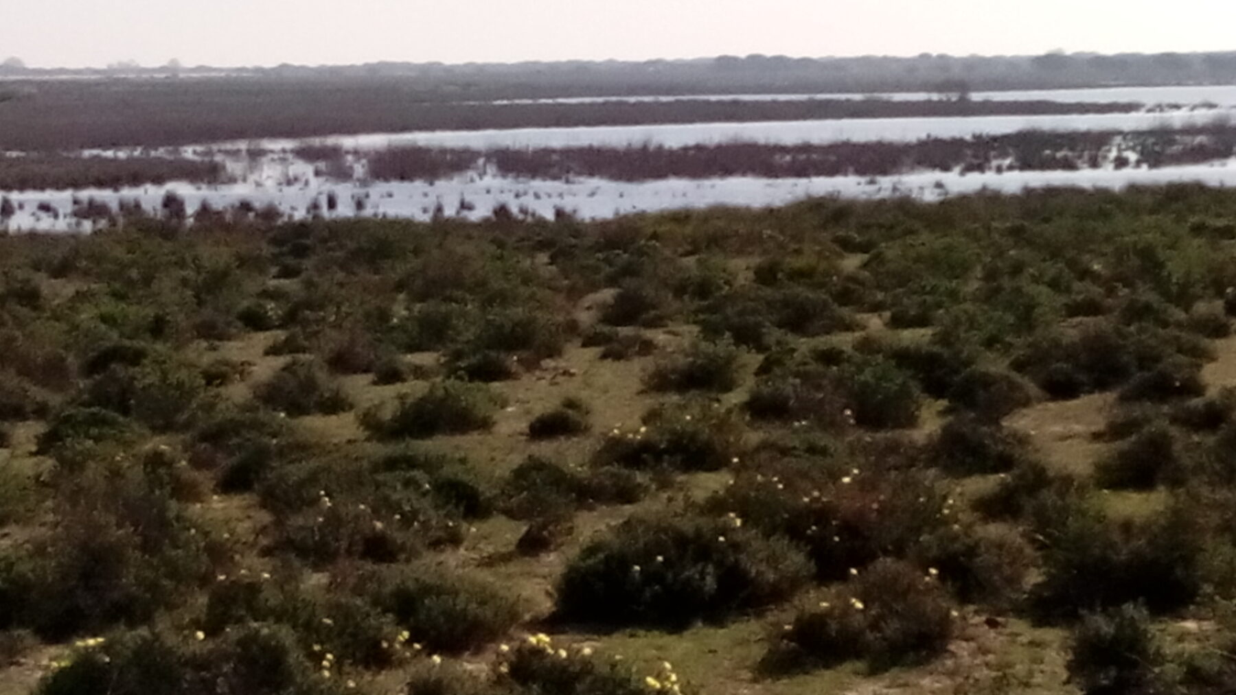
If what is considered is the water volume, the IGME notes that the most significant are karst aquifers formed on limestones, a type that will be explained below.
Free, confined, porous and karst
The IGME classifies aquifers on two criteria. The first is how the water is enclosed:
- Free. The water surface is at atmospheric pressure and recharges directly from above. The level that water reaches in a borehole is the phreatic level.
- Confined. The water is trapped between impermeable layers and is under pressure. If, when drilling, the level rises above the ground, it will gush out: an artesian well or spring.
- Semi-confined. The overlying or underlying layer is not entirely impermeable and allows some water to pass.
The second criterion is the material. In porous aquifers, such as sands and gravels, water fills the space between grains. In karst and fractured systems, water flows through cracks opened by dissolution in limestones, dolomites or gypsum, or through fractures in hard rocks like granite and basalt.
It is worth not confusing an aquifer with a groundwater mass. The aquifer is the geological formation; the mass is the unit in which hydrological plans divide it to assess its state, and the same aquifer can be divided into several masses, as happens in Mancha Occidental.
What happens when you withdraw more than you recharge
When for years more water is pumped than is replenished, the level falls, and recovery is not always fast. According to a June 2024 IGME-CSIC note, in Spain there are aquifers with declines of up to 10 meters per year that can take a century to recover their level, according to researcher David Pulido. The same note states that overexploitation is a reality in Doñana and in Alto Guadiana. On the coast there is an additional risk, since as the level drops, seawater intrusion enters the aquifer (the so-called saline intrusion), a situation the IGME describes as very difficult to solve.
In Doñana, the NGO WWF estimates an exploitation index of 109%, i.e., more is extracted than available, and using 2023 imagery estimates 14.37 hm³ taken illegally to irrigate 3,983 hectares, according to iAgua. That water leaves the subsurface to end up in crops, and therefore forms part of the water footprint of those farms.
Poor state and overexploitation are not the same thing. The Water Framework Directive requires two conditions to speak of good status: chemical and quantitative, as explained by the MITECO. With the 2022-2027 plans, 353 of the 804 masses (43.9%) are in poor condition: 203 due to quantity, because too much water is being extracted, 263 due to chemistry, mainly nitrates, and 113 due to both. Only the poor quantitative status corresponds to extracting too much water. By basins, in the Guadiana 17 of its 20 masses (85%) are in poor condition; in the Segura, 43 of 63, and in Catalonia, 28 of 44.
The climate points in the same direction. A study by the IGME-CSIC, published by Pulido-Velázquez and other authors in the Journal of Hydrology, calculates that by 2045, if emissions continue at the current pace, groundwater recharge will reduce on average by 11%, and by more than 20% in more than 10% of the peninsula’s territory.