
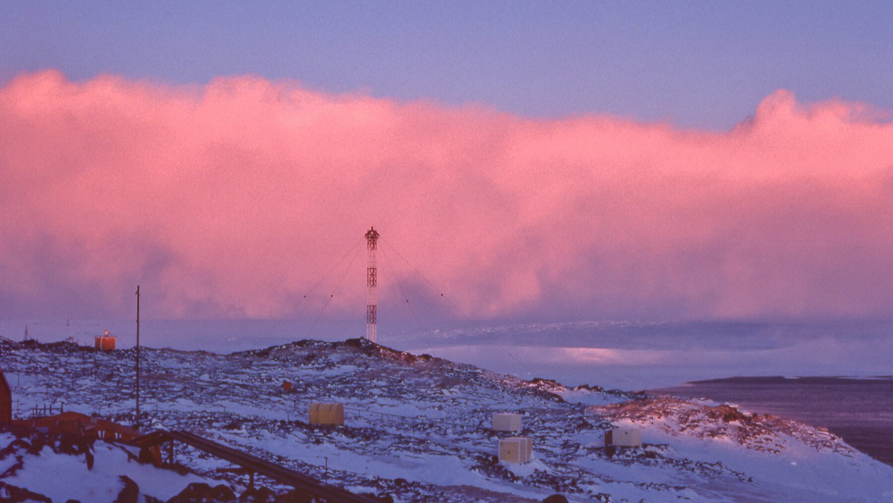
The wind chill is the temperature the body feels when the thermometer’s reading is adjusted by the wind’s effect if it’s cold, or by humidity if it’s hot. The State Meteorological Agency (AEMET) calculates it using two distinct indices, one for each situation, and presents them in its wind chill tables for cold and heat, built with three variables (wind speed, relative humidity, and air temperature), as explained by the agency in its mountain section.
With those tables, a day at 0 °C with wind at 30 km/h feels like it’s −6, and an afternoon at 35 °C with 60% humidity feels like a temperature of 45. The thermometer isn’t wrong in either case; what changes is how quickly the body loses heat, something that wind speeds up and humidity slows down.
Wind Does Not Cool the Air; It Cools the Skin
The skin heats a very thin layer of air that clings to it and, when the air is still, acts as a small insulator. Wind sweeps away that layer and continuously replaces it with cold air, so the skin loses heat much faster. The air itself isn’t colder because of that (the thermometer reads the same); what increases is the cooling of exposed skin, especially the face.
That effect is what the wind chill index measures, known by its English name, wind chill. AEMET warns that this index “is not strictly a temperature, but a magnitude without units.” Its value corresponds to the temperature at which the skin of the face would cool if the wind were calm.
To calculate it, the agency uses this equation: STF = 13,1267 + 0,6215·T − 11,37·V^0,16 + 0,3965·T·V^0,16. In words, STF is the cold wind chill, T is the air temperature in degrees Celsius, and V is the wind speed in km/h measured at 10 meters above the ground. The wind is raised to the power of 0.16, a small exponent that makes the first kilometers per hour weigh more than the ones that follow. If wind is measured at face height, AEMET notes that you should multiply that value by 1.5 before using the formula or the table.
Here are some values from the AEMET table:
| Air Temperature | Wind 10 km/h | Wind 30 km/h | Wind 50 km/h |
|---|---|---|---|
| 0 °C | −3 | −6 | −8 |
| −5 °C | −9 | −13 | −15 |
| −10 °C | −15 | −19 | −22 |
The grid reveals two things. First, the initial breeze is the most noticeable: at 0 °C, with only 5 km/h wind the index already drops to −2 and with 10 km/h to −3, while to shave off another three points you need 20 more km/h. Second, the wind hurts more the colder it is, since going from 10 to 50 km/h subtracts five points at 0 °C and seven at −10 °C.
The United States National Weather Service (NWS) computes its wind chill with a similar equation, in degrees Fahrenheit and miles per hour, and only considers it valid with air at 10 °C (50 °F) or lower and with wind above roughly 5 km/h (3 mph). AEMET applies its own from temperatures between +10 °C and −50 °C. Indoors, without wind, the calculation is different, and the practical question becomes what temperature to set the heating to reach.
When Wind Chill Becomes a Risk
AEMET accompanies its table with four approximate thresholds, designed for skin exposed to air that is initially warm:
- Low risk, from −10 to −27: hypothermia if you stay outdoors for long periods.
- Moderate risk, from −28 to −39: frostbite with prolonged exposure, from 10 to 30 minutes.
- High risk, from −40 to −54: frostbite in about 10 minutes.
- Very high risk, −55 or lower: frostbite in less than 2 minutes.
With sustained winds over 50 km/h, the agency adds, frostbite can occur sooner. The table also highlights the cells where the top 5% most sensitive people may suffer frostbite on exposed skin in 30 minutes or less, assuming the worst solar radiation scenario, which is a cloudless night.
There is a physical limit: wind cannot make the skin colder than the surrounding air, so when the thermometer reads above 0 °C there are no frostbite risks, regardless of wind. Even at 0 °C and 50 km/h, the index sits at −8 and does not reach the first risk threshold, which starts at −10.
The official NWS example fits this scale, since with air at 0 °F (about −18 °C) and wind at 15 mph (about 24 km/h) the index drops to −19 °F, which is roughly −28 °C, and exposed skin can freeze in 30 minutes. That is precisely the point at which AEMET begins to speak of moderate risk.
With Humidity, Sweat Stops Cooling
In summer the mechanism changes, because the body releases the excess heat by evaporating sweat, and the more water vapor the air already carries, the less effectively evaporation occurs. AEMET measures this effect with the heat index. It calculates it with a polynomial (a long formula that crosses air temperature with relative humidity) and applies it only when temperatures exceed 26 °C and humidity is above 40%. In the United States, the index comes from a statistical regression that the NWS published in 1990, Rothfusz; and NOAA’s Weather Prediction Center does not consider it appropriate when the result falls below about 27 °C (80 °F).
That’s why a humid day can feel more oppressive than another with more degrees on the thermometer. At 32 °C with 70% humidity, the AEMET table gives 40; at 35 °C with 45% humidity, it gives 39. At 30 °C, the index goes from 30 at 45% humidity to 33 at 60%, 38 at 80%, and 44 with saturated air. At 35 °C the rise is faster: 41 with 50% humidity, 45 with 60%, 50 with 70%, and 57 with 80%.
Those values are read with four levels. Between 27 and 32, AEMET warns to exercise caution due to possible fatigue if exposure or physical activity lasts longer. Between 33 and 40, it speaks of extreme caution because sun exposure, heat stroke, and cramps are already possible. From 41 to 53 the label is danger, with those same problems as highly possible, and from 54 onward, extreme danger, with imminent heat stroke and sunstroke. In this way, 35 °C with 80% humidity (57) already falls into the last rung. For indoor heat, the practical reference is what temperature to set the air conditioning to.
Direct sun further increases the tally. According to AEMET, staying in the sun can raise the heat index by about 8 degrees, and the NWS, which calculates its heat index values for shade and light wind, mentions up to 15 °F, about 8 °C. Wind also matters even though it isn’t included in the formula: below 32 °C, which is the skin temperature, wind eases the sensation of heat, and above that figure it increases it. Relative humidity, which weighs heavily in how hot it feels, is also the key to understanding how fog forms.

Between the two indices there remains a gap. With air temperatures above 10 °C and up to 26 °C, neither of AEMET’s two equations applies, nor the heat index when humidity stays at 40% or below, even if the thermometer reads above 26 °C.