
Catalonia, the Valencian Community, Murcia and the Balearic Islands account for a large share of the instability on a day that, according to the weather forecast, will also bring rainfall in the Canary Islands.
The weather forecast for this Tuesday brings us closer to an autumnal atmospheric reality, with discrepancies among regions regarding cloud cover, rainfall and temperatures.
Thus, throughout the day rainfall may occur in some areas while others will see skies with more clear spells. The general trend will be a drop in the minimum temperatures across much of the country.
The Weather Today on November 3
According to the State Meteorological Agency (AEMET), the most notable rainfall on this Tuesday will be concentrated along the eastern and southeastern coasts of the mainland. Catalonia, the Valencian Community, the Region of Murcia and the Balearic Islands will be among the areas with the greatest instability.
Overcast or cloudy skies are expected along with showers that could be locally heavy, persistent and even accompanied by thunderstorms.
The situation will be especially significant along the Catalan coast, where rains could reach very strong intensity during the early hours of the day. Rain is also expected in other parts of Catalonia, Aragon, eastern Castilla-La Mancha, the interior of the Valencian Community and Murcia, as well as in southern Andalusia, although in these areas they may be weaker or moderate.
The Valencian Community will be one of the territories that must pay special attention to how the storms evolve. AEMET has issued yellow warnings for rainfall that could drop up to 30 liters per square meter in one hour along Alicante’s southern coast. In other parts of the Alicante coastline and the southern Valencia coast, intense showers are also expected.
The Balearic Islands will not be left out of this episode either. Mallorca, Ibiza and Formentera may record heavy rain and thunderstorms, with significant accumulations at some points across the archipelago.
Canaries Look to the Sky for Storms
The Canary Islands will be another focus of the Tuesday weather forecast. AEMET expects very cloudy skies and showers that are strong or very strong, accompanied by thunderstorms. Moreover, persistent precipitation in certain areas cannot be ruled out.
This situation contrasts with other parts of the national territory, where skies will be mostly clear or lightly cloudy, with some high clouds. The weather will therefore be very different depending on the autonomous community and how close you are to the Mediterranean façade.
Another notable weather element in Spain on November 3 will be the drop in temperatures. The intrusion of cold air will push the mercury down, especially the daytime highs in the northern half of the peninsula, where the decline could exceed six degrees and be noticeable.
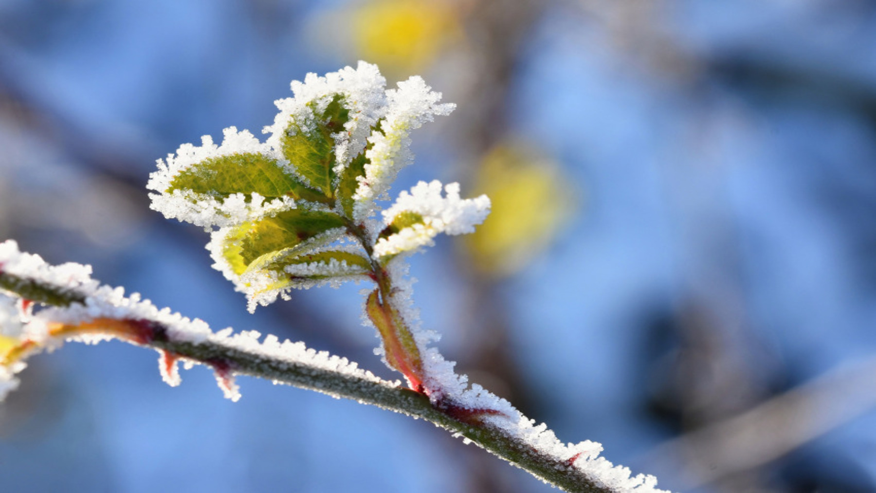
Minimum temperatures will also be low across much of the interior, particularly during the early hours of the day. Ávila and Segovia are among the capitals that could see sub-zero values, while the mountainous areas in the northern half will experience frost.
On the other end of the spectrum, the southern peninsula will keep milder temperatures. Seville, for example, could see highs surpassing 25 degrees, reflecting the thermal contrast that will occur between different regions of Spain during this day.
In Madrid, AEMET forecasts mostly clear or slightly cloudy skies, with temperatures ranging from 7 to 14 degrees. In the mountains, lower minimums and weak frosts are expected, along with a notable drop in the maximums.
In the north of the peninsula, the outlook will also have some nuances. The Cantabrian coast is expected to have low clouds and light precipitation, while Galicia may feature the possibility of very strong wind gusts along the A Coruña coastline. Meanwhile, the Pyrenees and the Cantabrian range could receive light snowfall above 1,400-1,500 meters of altitude.