
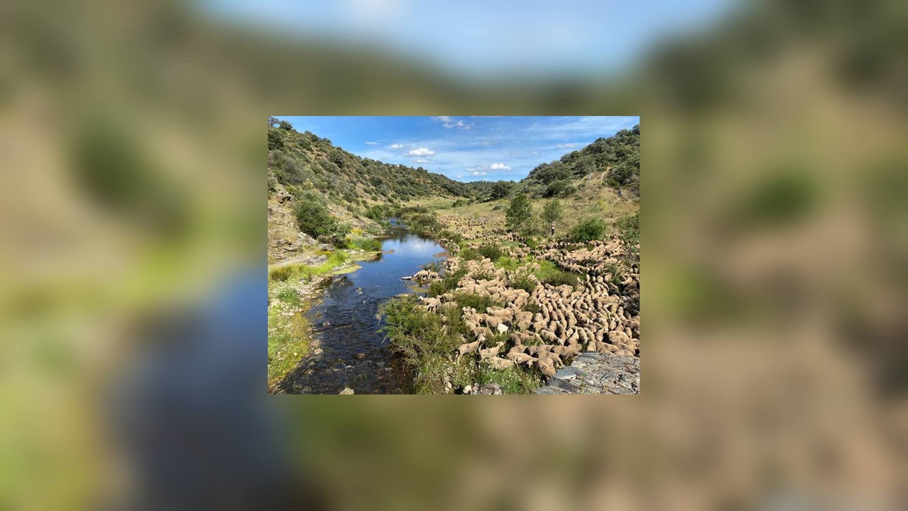
Spain now has its National Network of Livestock Routes traced, spanning about 11,393 kilometers of cattle paths that cross several autonomous communities. The Council of Ministers approved the royal decree that develops it on October 27, 2026. The proposal originated from the Ministry for Ecological Transition and the Demographic Challenge (MITECO).
On paper, this network has existed since the Livestock Routes Law of 1995. What was missing was to fix its routes, and that has taken 31 years to arrive. According to MITECO’s note, the primary objective is to “guarantee the transit of livestock and promote the practice of transhumance.”
Eleven Royal Cañadas and Four Sets
The network includes the major royal cattle drives and other itineraries for extensive livestock farming. It also covers the passages that connect with other countries. The MITECO page on livestock routes divides the total into eleven royal cañadas and four sets of routes.
The longest is the Western Leonesa Royal Cañada, at 1,080 kilometers. Close behind are the Eastern Soriana, with 1,066, and the Plata or Zamorana, with 1,044. At the opposite end, the Cuenca to Cartagena route measures 213 kilometers.
And what about the rest of the paths? According to the ministry, the country adds a dense network of more than 125,000 kilometers and around 425,000 hectares. The national network is only the backbone—the stretches that pass from one autonomous community to another.
Paths Up to 75 Meters Wide
Many people may be familiar with the word cañada, but few know that the law sets limits. Law 3/1995 on Livestock Routes designates cañadas as routes up to 75 meters wide. Cordeles do not exceed 37.5 meters, and veredas are limited to 20.
We are talking about goods of public domain, that is, of everyone. Over the years, many stretches have been eaten into by estates, crops, or constructions. The very 1995 law already spoke of an “increasing intrusiveness.”
In March, several environmental groups denounced the neglect of livestock routes and public paths. They blamed it on the inaction of the administrations.
Cadastre, Maps, and Historical Archive
With the royal decree, the Government aims to bring order to that mess. It plans to delimit lands more precisely and defend them against intrusions and occupations. Its data will be cross-checked with the Cadastre and the Property Registry, so that public and private sectors stop stepping on each other’s paperwork.
The information for each stretch will also be public. The digital cartography and the administrative status will go to the Spanish Inventory of Natural Heritage and Biodiversity. Also to the Nature Data Bank.
Who Governs Each Stretch
Livestock routes belong to the autonomous communities, and that does not change. They will continue to administer them, classify them, demarcate them, and mark boundaries. The State reserves the right to define the network, coordinate it, and inform about it.
So that a cañada is not cut right at the line between two regions, the regulation creates a Committee of Livestock Routes. There will also be a National Network Action Program, with objectives, priorities, and conservation measures.
As if that weren’t enough, the Documentary Fund of Livestock Routes is created, which will gather old plans, background, and resolutions. For those who want to know where a cañada truly passed, it is no small matter. Some regions were already ahead, and Andalusia leads the recovery of livestock routes with 88 million.
Sheep Against Fire
Beyond the cattle, these paths function as corridors for plants and animals. MITECO recalls that they help maintain native breeds, pastures, and biodiversity. They can host uses such as ecotourism, but always with livestock in the lead.
With summers increasingly dry, there is another significant factor. According to the ministry, the livestock routes maintain “discontinuities in the landscape” that can help prevent forest fires. That is why several regions are betting on extensive livestock farming and transhumance as a fire deterrent.
In 2023, UNESCO inscribed transhumance on its Representative List of the Intangible Cultural Heritage of Humanity. And we have already explained why transhumance remains key to rural biodiversity.
Since the Mesta of 1273
According to MITECO, these paths have been protected since Alfonso X created the Honrado Concejo de la Mesta in 1273. Thanks to them, a powerful wool market with international fame grew in the Modern Era.
Then came the abolition of the Mesta in 1836, the train and the trucks. Foot transhumance was gradually sidelined, though it never disappeared. There are still shepherds who undertake the route with their flocks.
One important mystery remains. The note does not clarify when the Action Program will be ready or how much money will be behind it. And that will largely determine whether the network moves from map to field.
The Government’s press release has been published on the website of the Ministry for Ecological Transition.
Photo: MITECO